DO Montsant · gorge and reservoir
Margalef
A village on the right bank of the Montsant river, where the valley narrows between the Montsant massif and Serra de la Llena.
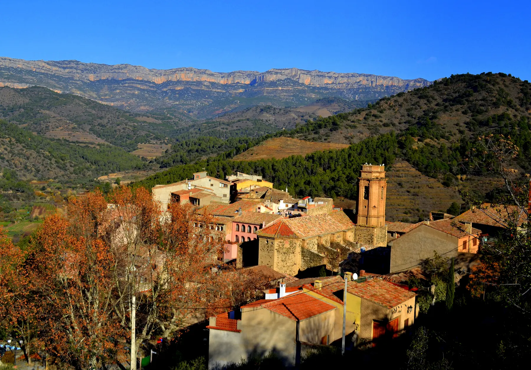
Margalef is the official municipality name. Margalef de Montsant appears as a tourism label rather than the canonical title.
Orientation
Around Margalef
Wine geography
Viticulture without an invented winery list
Margalef lies within the DO Montsant wine-growing area and outside DOQ Priorat.
The March 2025 DO Montsant register and current DOQ evidence identify no winery based in the municipality. That does not mean vineyards or wine activity are absent.
Producer register
No municipality-based winery in current registers
This is a municipal relationship register, not a list of tasting rooms.
No municipality-based winery in the current appellation evidence.
Place record
Cliffs, caves and a river village
The church of Sant Miquel Arcàngel is recorded as a fifteenth-century building. Sant Salvador hermitage stands outside the centre on the Montsant side.
The reservoir lies farther up the valley. Nearby cliffs and caves make Margalef an important climbing landscape.
Planning the visit
A narrow valley approach
The T-713 reaches Margalef from La Bisbal de Falset and the C-242 approaches from the north-east.
Climbing access, reservoir conditions and mountain paths should be checked locally before setting out.
Continue nearby
Photography: Siurana valley, Àngela Llop, licensed under CC BY-SA 2.0. Image cropped. Place facts reviewed August 2026.
