DOQ Priorat · western ridge
El Lloar
A hundred-person village looking across the Montsant valley, with four producer relationships, red sandstone at the Rogerals and a cooperative history shared across four municipalities.
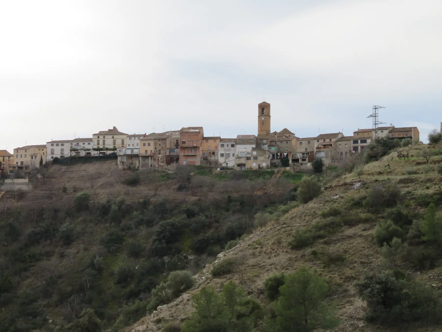
El Lloar covers 6.64 square kilometres. The village stands at 219 metres and had 100 residents in the 2025 register.
Orientation
Across the valley from Gratallops
The local view places El Lloar between the western hills and the Montsant river, with El Molar, Bellmunt del Priorat and Gratallops around it. The locator marks the municipality within the Priorat comarca.
 El Lloar© OpenStreetMap contributors
Wine village
Four producers, four different relationships with place
The live DOQ Priorat village directory names all four. Clos93 works beneath a family house, Família Torres operates at Finca La Solteta, Portal del Priorat is centred on Clos del Portal and Cal Grau occupies an estate between El Lloar and El Molar.

Producer register
Four current relationships
This is a municipal relationship list, not a list of tasting rooms. Visits and direct sales must be confirmed with each producer.
Rock and river
The Rogerals above the Montsant
The municipality descends through gullies and cultivated slopes towards the Montsant river. The Rogerals are its most visible geological feature, a group of red sandstone formations reached by a signed path near the village.
The sandstone should not be confused with the llicorella descriptions attached to individual vineyards and wines. Municipal ground is varied and each producer's site claims remain specific.
The Mirador del Priorat on Carrer Sant Miquel opens across the river valley. Nearby paths lead towards the Font de Minfami, which regional tourism sources connect with Arab origins.
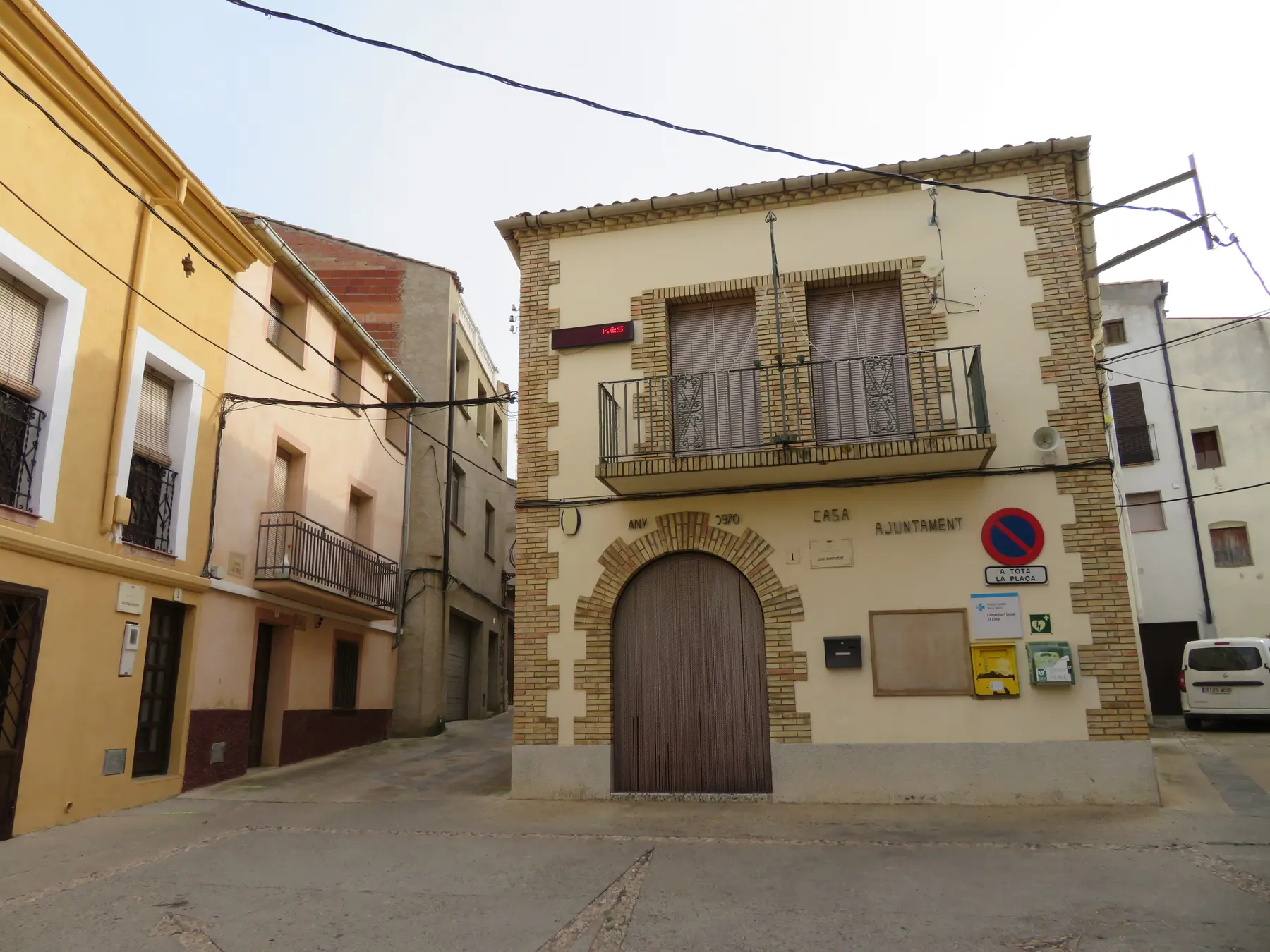
Village fabric
A narrow settlement along an old route
El Lloar stands on an old route between the Ebro and Tarragona. Narrow streets follow the ridge and the parish church of Sant Miquel Arcàngel dates to the seventeenth century.
The origin of the village name remains unsettled. Published interpretations connect it with wolves, praise or worship and stone slabs, but none is established as definitive.
The cooperative
The fourth village in Vinícola del Priorat
El Lloar joined the cooperative structure formed in 1991 with Gratallops, La Vilella Alta and La Vilella Baixa. Vinícola del Priorat now carries that shared inheritance across all four municipalities.
The local relationship is genuine, but the organisation remains one producer rather than four municipal wineries. This is separate from the Cellers Unió relationships recorded around Poboleda, Gratallops and Porrera.
Planning a visit
Appointments before arrival
Clos93 and Portal del Priorat publish advance-reservation visits. Família Torres limits visits to professionals by prior arrangement in its current appellation profile. Cal Grau records direct sales but no fixed public tour schedule.
El Lloar has no passenger railway station. A car is practical because several estates lie outside the compact centre. Confirm the venue, language, duration, price and access instructions before travelling.
Continue nearby
Photography: village view and village street, Juan Emilio Prades Bel, licensed under CC BY 4.0; the Rogerals, Angela Llop, licensed under CC BY-SA 2.0. Images cropped.


