DO Montsant · Les Solanes del Molar
El Molar
One municipality meets two wine territories among vineyards, old mine workings and the Siurana valley.
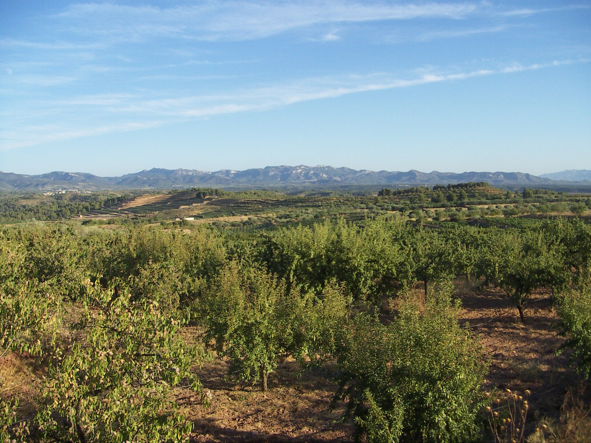
El Molar lies in the west of the Priorat comarca, on the right bank of the Siurana. The 22.81-square-kilometre municipality had 301 residents in the 2025 register.
Orientation
A western municipality with an internal wine boundary
The local view places El Molar among neighbouring settlements, minor roads and the surrounding terrain. The shaded locator shows the whole municipality. It does not draw the boundary between DO Montsant and Les Solanes del Molar.
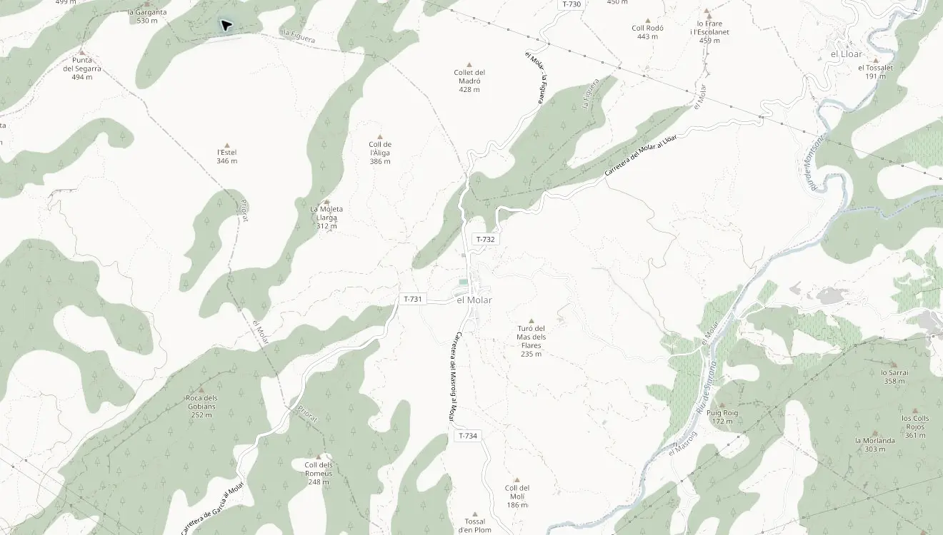 El Molar© OpenStreetMap contributors
El Lloar lies to the north-east. The T-730 climbs north towards La Figuera, while the T-734 leaves El Molar to the south.
Les Solanes del Molar occupies the eastern part of the municipality. Neither map plots its internal appellation boundary.
Wine geography
The municipal line is not the wine boundary
El Molar municipality belongs to DO Montsant. Its eastern part forms Les Solanes del Molar, one of the DOQ Priorat wine-production zones.
The DOQ describes slate ground across Solanes, Collades, Cometes, Noguerals, Colais, Garranxons, Mataveres and Planassos. Disused mineral workings continue towards Bellmunt del Priorat, giving the two places a geological as well as an industrial connection.
Current appellation lists
Seven names, separated by register
The lists identify winery relationships, not seven tasting rooms. Confirm every visit and meeting point directly.
DOQ Priorat · Les Solanes
DO Montsant · El Molar
Municipal directory
Five further El Molar relationships
The Ajuntament also names these producers. They remain outside the two current appellation lists above because a municipal directory can record an estate, facility or commercial relationship without establishing the same register status.
El Calvari
A settlement before the modern village
The protohistoric settlement on Mont Calvari was occupied broadly between the eighth and sixth centuries BC. Its excavated cemetery contained 172 burials. Finds from the site are held at the Salvador Vilaseca museum in Reus.

Mina Lussa
Mine, progressive school and field hospital
Lead, barite, manganese and fuller’s earth were extracted around El Molar. During the Civil War, Mina Lussa became a school and later a field hospital connected with the Battle of the Ebro.
The interpretation centre occupies the former mine beside the T-732. The regional tourism listing marked it temporarily closed when checked on 29 August 2026, so confirm its status with the Ajuntament before travelling.
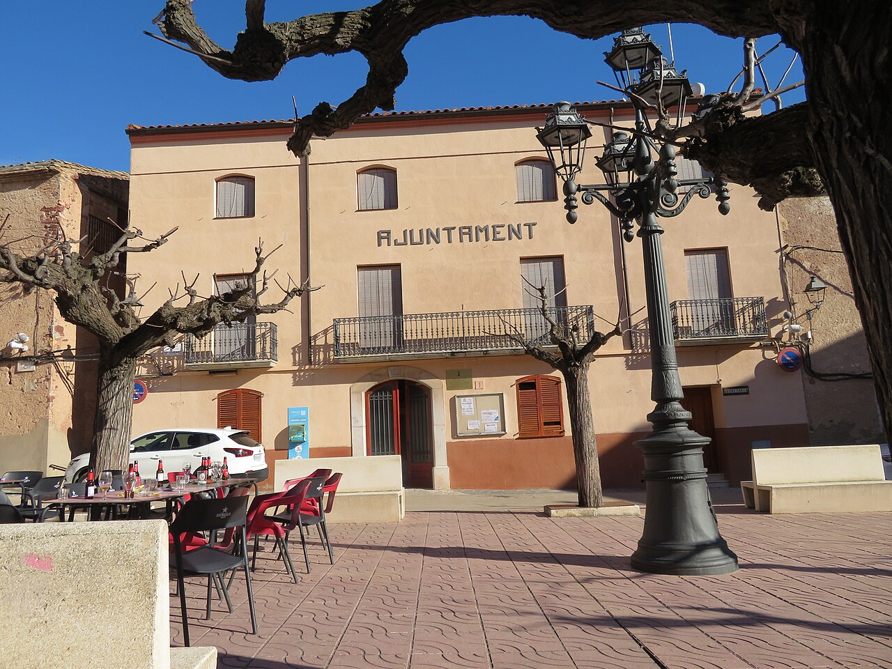
The village centre
Independence recorded in stone
El Molar separated from Garcia in 1850. The town hall retains an 1889 date above its original entrance while the neoclassical church of Sant Roc and Sant Isidre carries the date 1788.
Roads connect the village with El Masroig, El Lloar, La Figuera and Garcia. Rural wineries and heritage sites sit beyond the compact centre, so a precise address matters.
Continue nearby
Photography: village view, Jordirivas, public domain; Sant Roc and Sant Isidre, Juan Emilio Prades Bel, licensed under CC BY 4.0; town hall, Juan Emilio Prades Bel, licensed under CC BY-SA 4.0. Images cropped.


