DOQ Priorat · southern wine country
Bellmunt
del Priorat
Vines spread above ground. Below them, the Eugènia mine opens into the other industry that shaped the village.
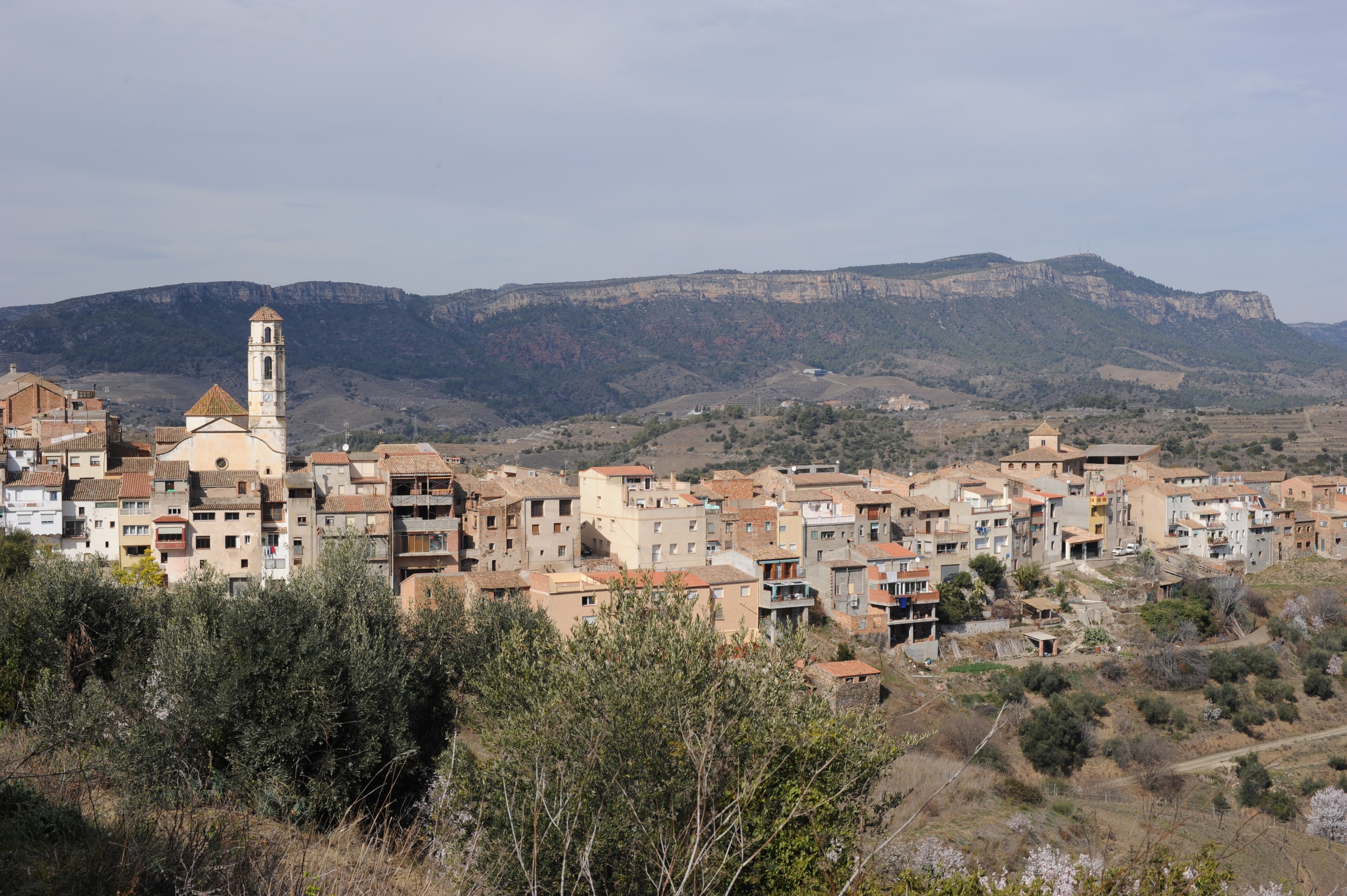
Bellmunt del Priorat lies along the southern edge of the DOQ Priorat wine country. The municipality covers 8.86 square kilometres and had 288 residents in the 2025 register.
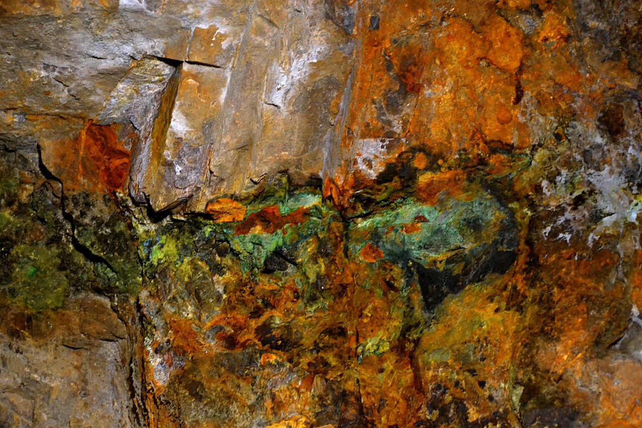
Mina Eugènia
The industrial landscape lies underground
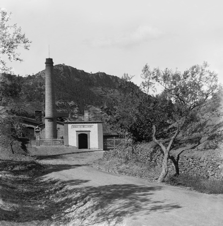
Lead mining became one of Bellmunt’s defining industries in the nineteenth century and continued until 1972. The mine complex, its workers’ colony and the Casa de les Mines record a parallel economy beside the vineyards.
The museum visit enters the first level of the Eugènia mine, about 35 metres below the surface. Its guided route covers roughly 700 metres of galleries.
Visits are guidedBook ahead and check the current seasonal timetable.
About 45 minutesThe museum requires helmets inside the galleries.
16–18°C undergroundBring an extra layer even in summer.
Visitor conditions checked 29 August 2026 against the museum’s current information. Recheck before travelling.
Producer register
Ten names with a current Bellmunt relationship
This is the DOQ Priorat municipal list, not a promise that every cellar receives visitors. Confirm visits and meeting points directly.
Cooperative memory
Wine and mining once shared the village economy
The cooperative was created to secure a fairer price for bulk wine that had largely been sold to France. A DOQ Priorat account published for its centenary recorded 35 members in 2017, compared with around 150 at its peak.
Casa Gran del Siurana was then the tenant of the cooperative facilities, keeping winemaking active in the building. The cellar still records its Bellmunt installation in current official registers.
Above ground
A small centre with an industrial edge
Santa Llúcia, an eighteenth-century neoclassical church, stands in the village centre. The early twentieth-century Casa de les Mines combined the director’s residence with offices and a laboratory.
Beyond the streets, paths and minor roads lead towards Falset, El Lloar and the Siurana country. Les Pinyeres also links Bellmunt del Priorat with El Masroig through the shared annual pilgrimage after Easter.
Continue nearby
Photography: village view, joan ggk, licensed under CC BY 2.0; mine interior, Angela Llop, licensed under CC BY-SA 2.0; 1901 mine photograph, Lluís Marià Vidal i Carreras, public domain. Images cropped.


.jpg)