DOQ Priorat · riuet d’Escaladei
La Vilella Alta
A small hill village where seven current producer identities, two old fountains and a cooperative inheritance occupy the slopes above the riuet d’Escaladei.
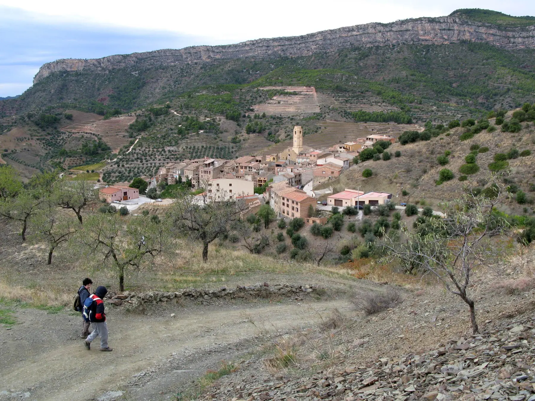
La Vilella Alta covers 5.15 square kilometres. The village stands at 327 metres and had 130 residents in the 2025 register.
Orientation
Above the river between the two Vilelles
The local view places La Vilella Alta beside La Vilella Baixa, with Torroja del Priorat, Poboleda and Gratallops around it. The locator marks the municipality within the Priorat comarca.
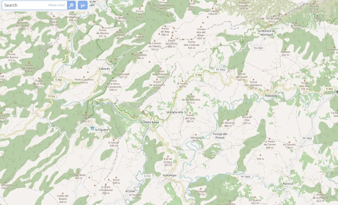 La Vilella Alta© OpenStreetMap contributors
Wine village
Seven current producer identities in a compact municipality
The live DOQ Priorat village list names five producers. Current facility, producer and wine records add Les Vinyes Forer Massard and Cowin Family Wines without treating related companies, labels or historic directory rows as extra wineries.
Producer register
Seven current profiles
This is a municipal relationship list, not a list of tasting rooms. Visits and direct sales must be confirmed with each producer.
From Montalt to Vilella d’Amunt
A village dated to 1286
The municipality dates the foundation of La Vilella Alta to 1286 under the Charterhouse of Escaladei. Its first settlers may have included families offered land after leaving nearby Montalt.
Seventeenth-century records use Vilella d’Amunt and Vilella de Dalt. La Vilella Alta became the standard name around the end of that century and the beginning of the eighteenth.
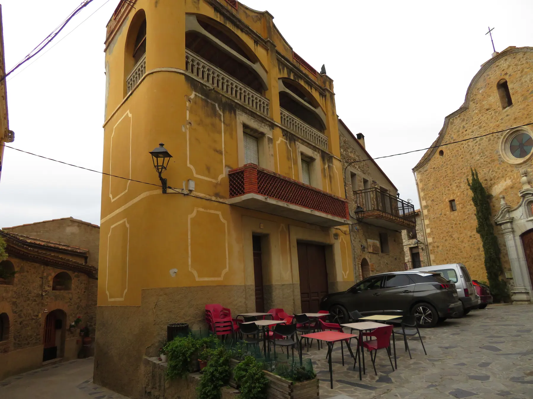
Carrer Major, l’Ereta and Carrer Nou hold much of the old fabric. Ca l’Ardèvol and the premises of the Societat La Veritable Aliança add civic history to a short village walk.
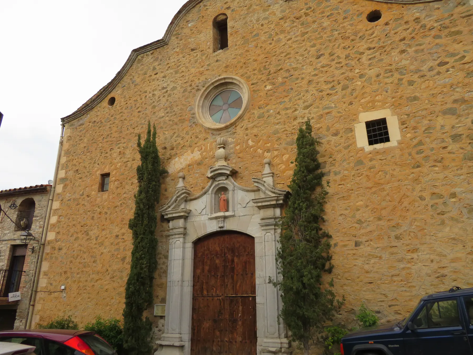
Santa Llúcia
An eighteenth-century church above the old streets
Santa Llúcia belongs to the second half of the eighteenth century. Its three-nave plan, neoclassical form, baroque elements and incorporated bell tower make it the principal landmark in the centre.
Opening arrangements vary, so interior access should be checked locally rather than assumed.
The cooperative
A 1933 inheritance within a four-village producer
La Vilella Alta's local agricultural cooperative was founded in 1933. In 1991 it joined the structure now known as Vinícola del Priorat with the cooperatives of Gratallops, El Lloar and La Vilella Baixa.
The current group produces wine and olive oil across those four municipalities. Its La Vilella Alta Vi de Vila draws on the sites Planes de Baix, La Font and El Clot, giving the shared organisation a specific local expression.
This route is distinct from the Cellers Unió relationships recorded at Poboleda, Gratallops and Porrera. The difference explains why neighbouring cooperative buildings do not all belong to the same present-day producer.
Fountains and paths
Font Vella, Font Àvia and the GR 174
Font Vella and Font Àvia were the village's principal water sources. During drought, a wooden marker passed from house to house to signal each family's turn at the water. Font Vella is now a recreation area crossed by the GR 174.
The long-distance path connects La Vilella Alta with Torroja del Priorat, La Vilella Baixa and routes towards the hermitage of Consolació. The riuet d’Escaladei below the village joins the Montsant at La Vilella Baixa.
Planning a visit
No railway station and limited buses
La Vilella Alta has no passenger railway station. The regional F1 service links the village with Falset and settlements towards Margalef and La Bisbal de Falset, but some journeys operate on demand.
Transport arrangements were checked against current public information in August 2026. Recheck the operator's timetable and any previous-working-day booking requirement before travelling. A car remains practical for winery appointments.
Continue nearby
Photography: village view and Santa Llúcia, Juan Emilio Prades Bel, licensed under CC BY 4.0; landscape, Xavier Ripoll Soria, licensed under CC BY-SA 3.0. Images cropped.


