DOQ Priorat · Cortiella valley
Porrera
A steep village where old Carinyena vineyards, substantial wine houses and fourteen restored sundials share the same streets.
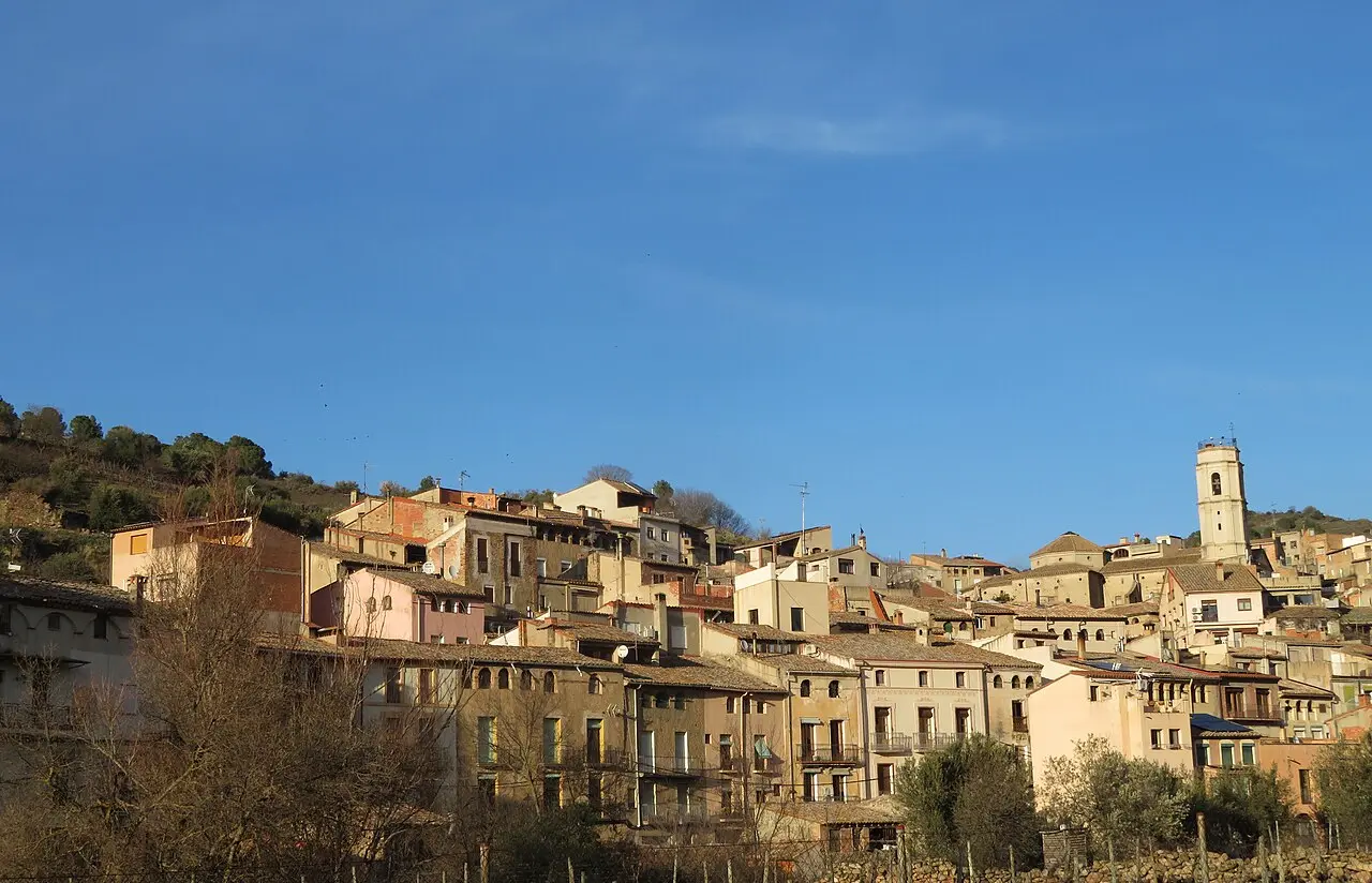
Porrera occupies 28.83 square kilometres in eastern Priorat. The village stands at 316 metres and had 407 residents in the 2025 census.
Orientation
Valley roads, steep approaches and a compact centre
The local view shows Porrera, the TP-7403 towards Torroja del Priorat, the T-740 towards Falset and the surrounding relief. The locator marks the municipality within the Priorat comarca.
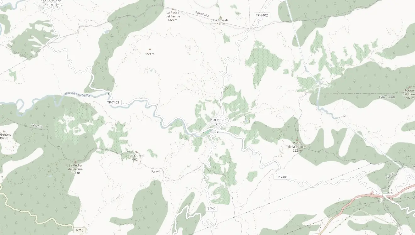 Porrera© OpenStreetMap contributors
Wine village
Twenty-nine identities, carefully separated
The reconciled set combines the live DOQ Priorat village list, the current Porrera winery association and the 2025 Tasta Porrera participants. It is a record of municipal relationships, not a promise that every name has a public tasting room.
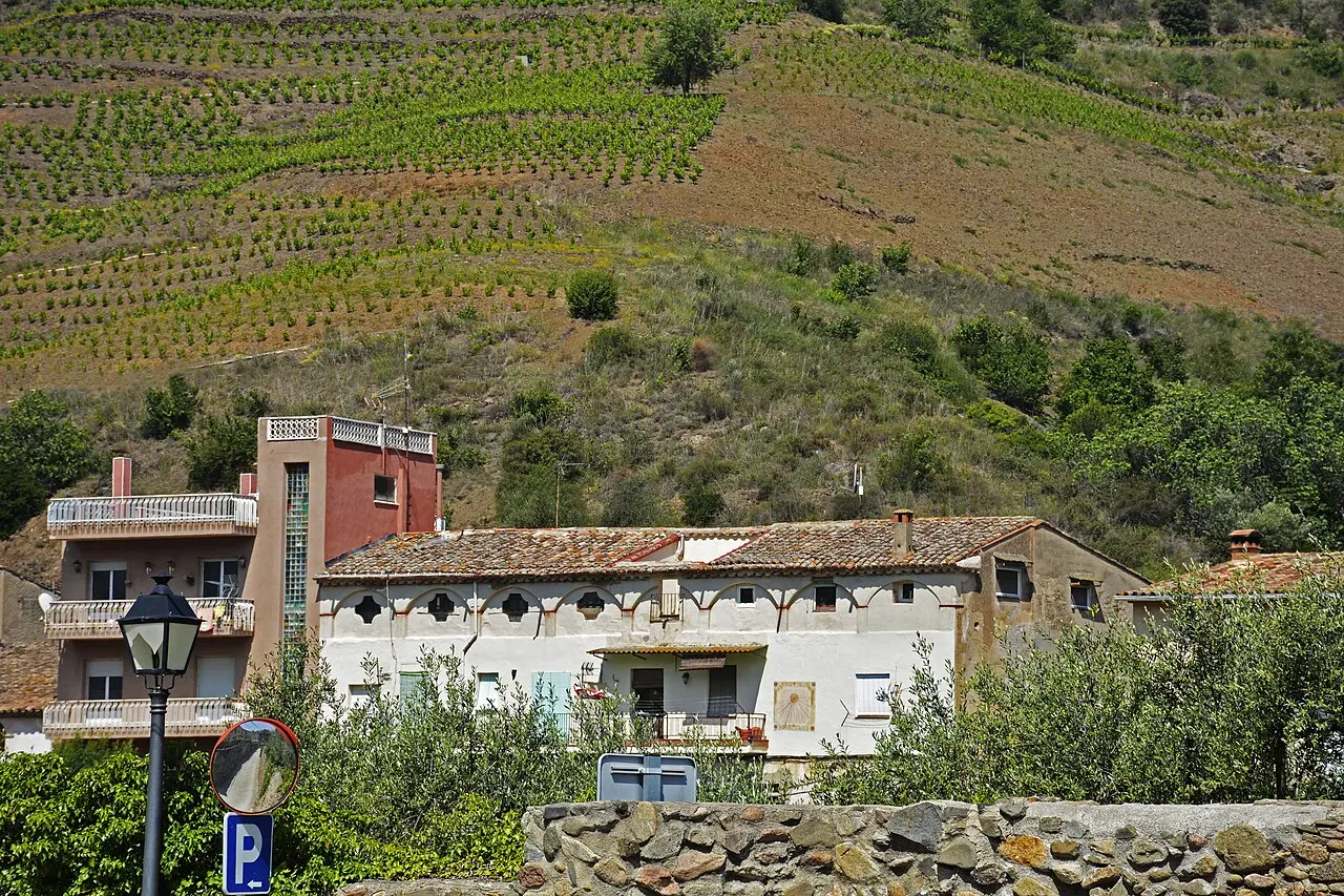
Current producer relationships
Twenty-seven current names
Four evidence-limited projects remain in this municipal register without thin standalone pages: Celler Gomis Francesch, Trosset de Porrera, Família Peyrí and La Tribu del Milionari.
Celler Família Nin-Ortiz
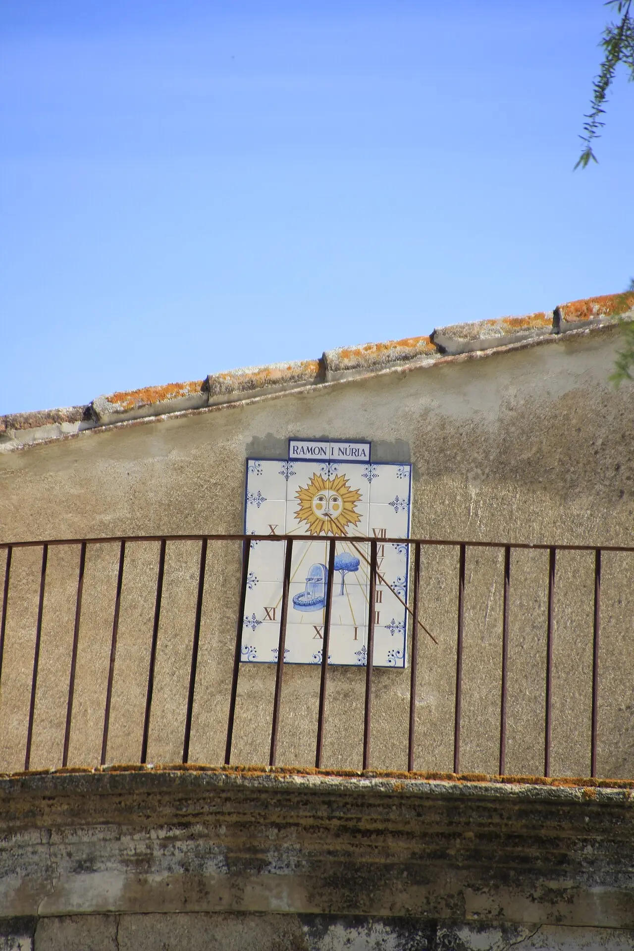
Ruta dels Rellotges de Sol
Fourteen faces across the village
The municipal route records fourteen restored sundials. Most are nineteenth-century works tied to the period when large wine houses shaped Porrera's streets. Cal Peirí is dated 1909 and the L'Encastell dial is a later work from 1990.
A wine-trading village
Large houses above the Cortiella
The name Valporrieram appears in a record from 1201. The DOQ village account describes repeated conflict and fires across later centuries, while the surviving streets show another history: prosperity from the eighteenth and nineteenth-century wine trade.
Some large properties covered between 400 and 800 square metres per floor. Their ground levels held agricultural stores, wine vats, wells and private water supplies. The steep streets still converge around Plaça Catalunya and the river crossing.
Sant Joan Evangelista, the old bridge, El Perxe, the Escarrerots steps and the Encastell viewpoint extend the village story beyond cellars and sundials.
Planning a visit
Book cellars and expect steep streets
Porrera has no passenger railway station. Public transport is limited, so check the current service for the intended day rather than relying on an undated timetable.
The centre is compact and the sundial route is walkable, but gradients are part of the visit. Wineries outside the centre require a precise meeting point and driving between appointments is often the practical choice.
Continue nearby
Photography: village view, Juan Emilio Prades Bel, licensed under CC BY 4.0; vineyards, Àngela Llop, licensed under CC BY-SA 4.0; Carrer Barceloneta sundial, fer55, licensed under CC BY-SA 2.0. Images cropped.
.jpg)

